calibration validation swot satellite

Calibration-Validation of the SWOT satellite: successful preparatory measurement campaign by vorteX-io in Oregon

Within the context of the cooperation between NASA and CNES concerning the future Franco-American SWOT mission, vorteX-io has recently carried out a fine preparatory measurement campaign on the Willamette River, Oregon.

The SWOT project

swot-satellite-calibration
The future SWOT satellite – artist’s view

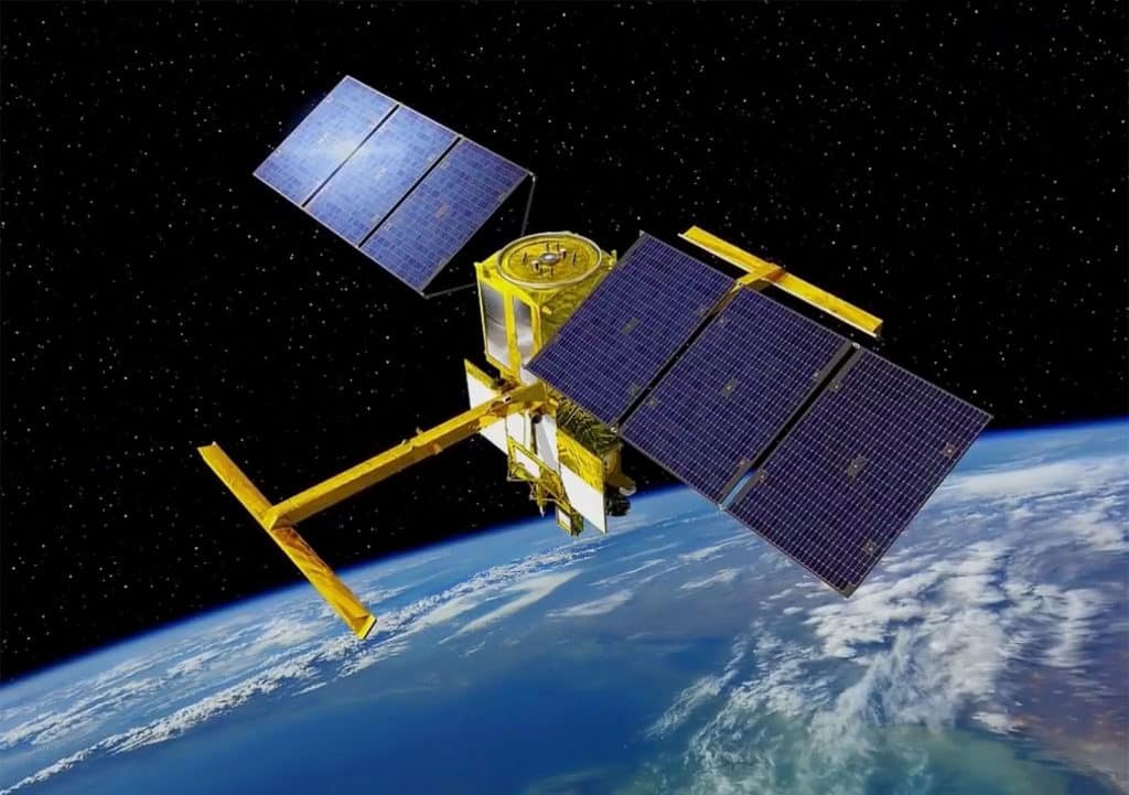
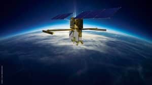
The Franco-American SWOT (S urface W aterland O cean T opography) mission, scheduled for launch late 2022, is the result of close technical, scientific and application cooperation between CNES and NASA that began more than 20 years ago. This large-scale project is intended to propel oceanography and continental hydrology towards new horizons. At the core of this huge project, the SWOT satellite will tirelessly scan the planet from an orbit located at an altitude of 891 km to carry out measurements on a scale never before achieved.

Equipped with half a dozen ultra-high-performance complementary sensors, it will carry KaRIn, a revolutionary interferometric altimeter, which will provide it with an unprecedented swath (scanning area), 120 km wide (approx. 74 miles) with decimetric precision. The SWOT satellite will thus collect a lot of valuable data about rivers, lakes, seas, and oceans all over the planet.
According to Thierry Lafon, head of the SWOT project at CNES, this mission is “the first space mission dedicated to hydrologists, keenly awaited.” Specialists will be able to benefit from very large-scale hydrological data, which will allow them to better understand the global water cycle of the well-named blue planet. In a context of global climate change where the management of water resources is becoming more and more critical, needless to say that this project raises a lot of expectations in the scientific community.

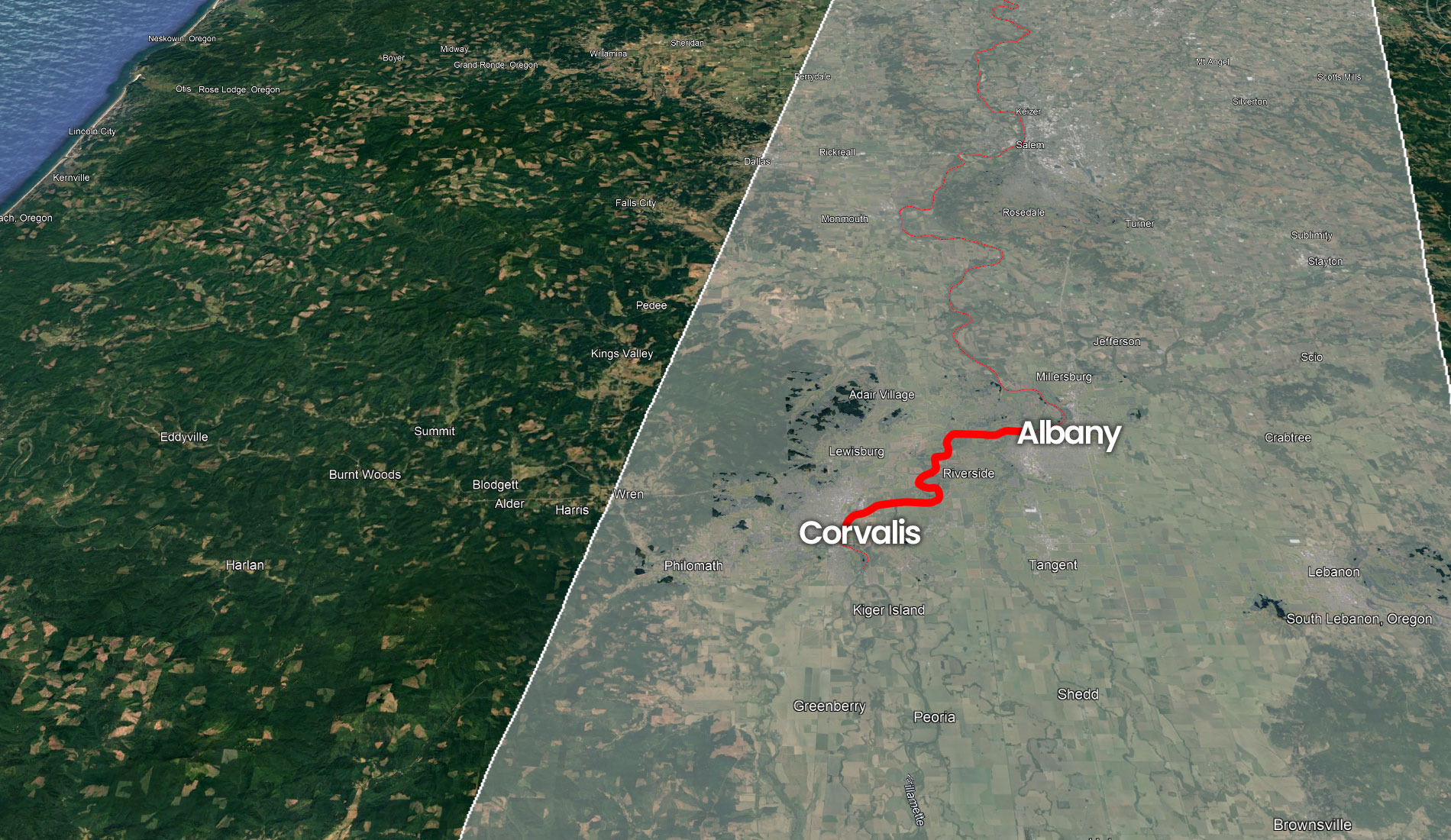
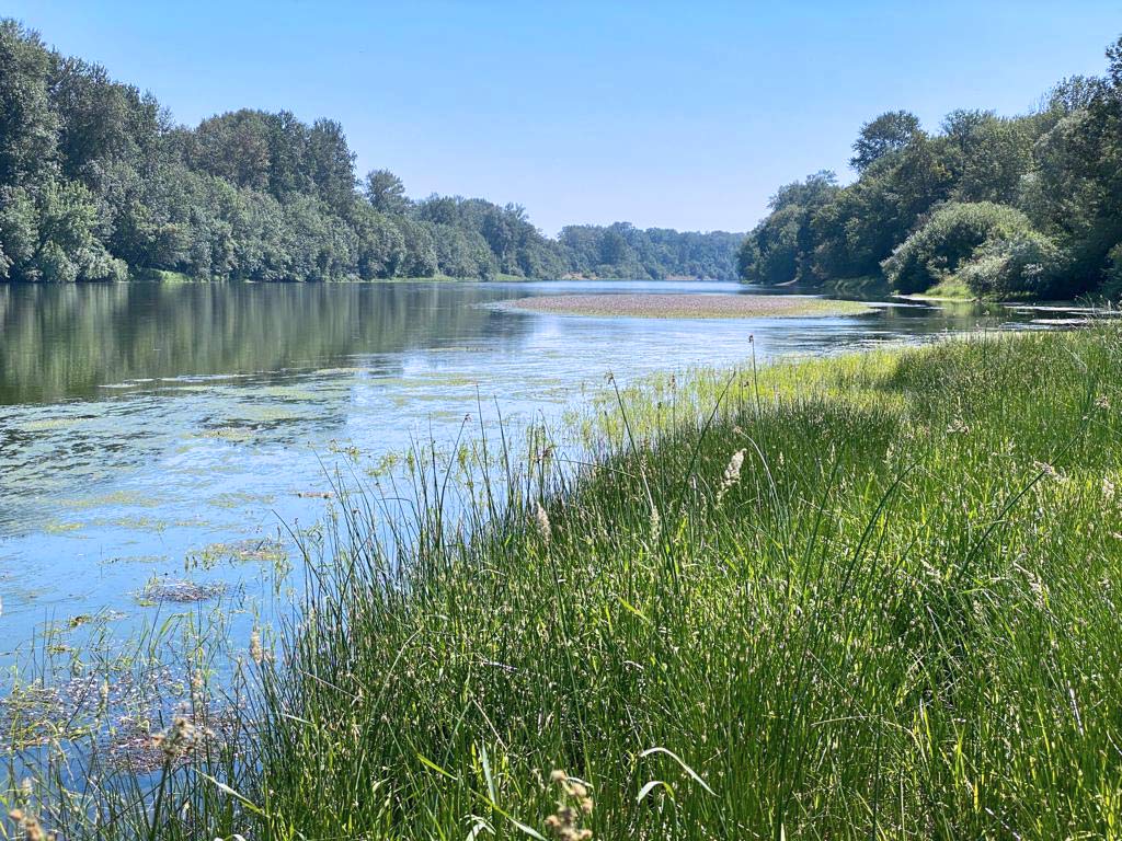
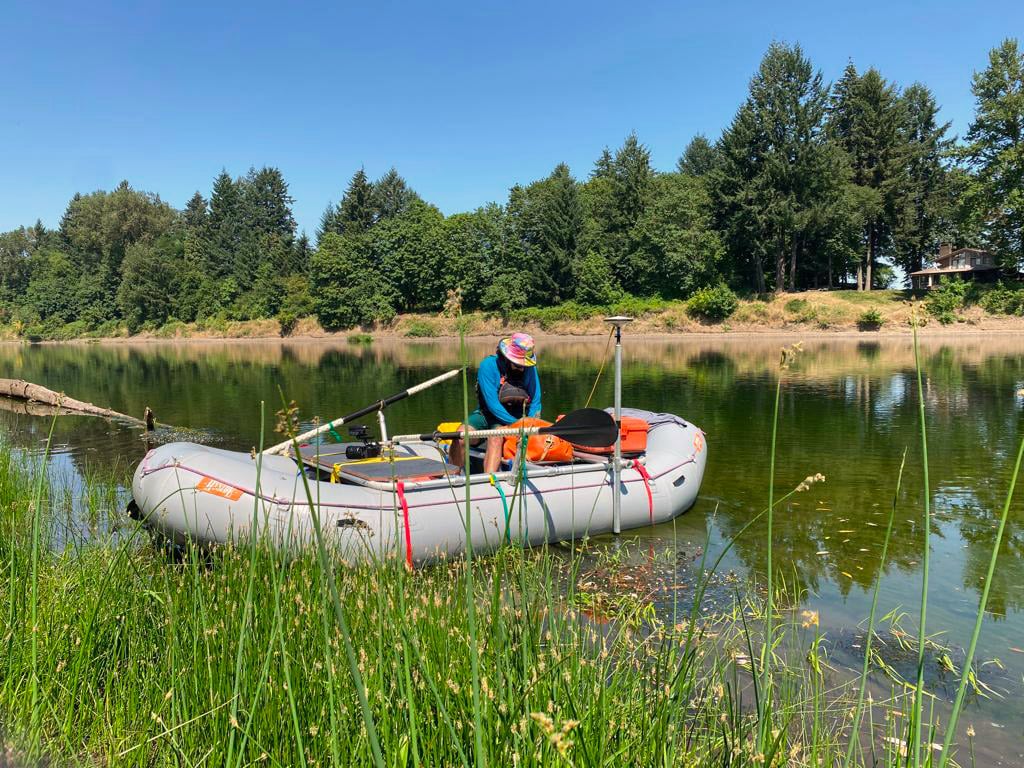
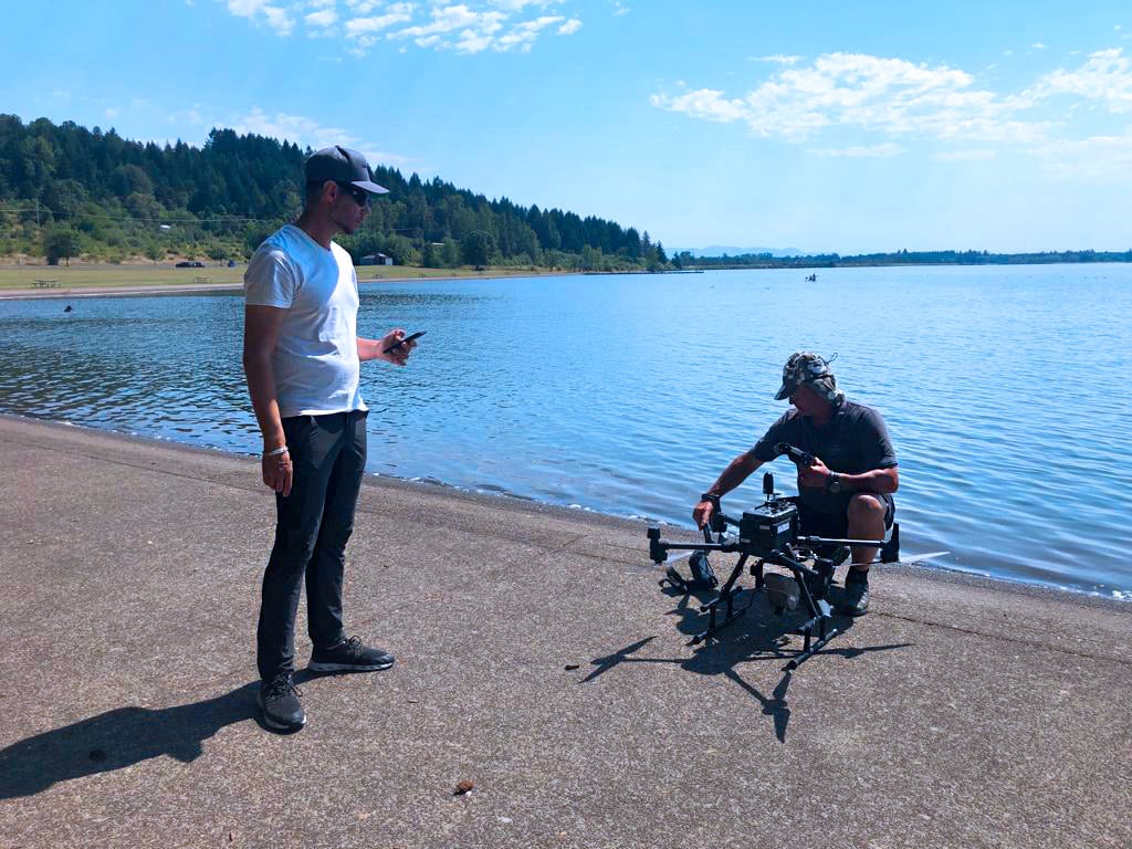
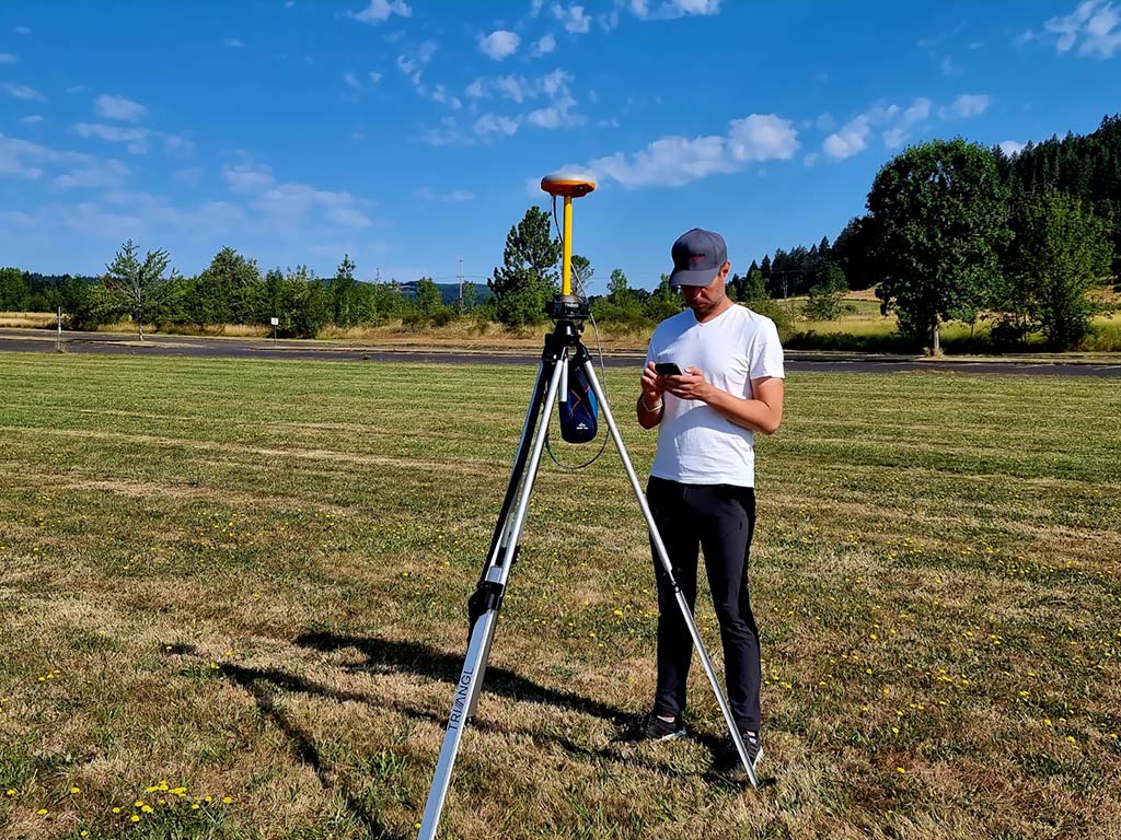
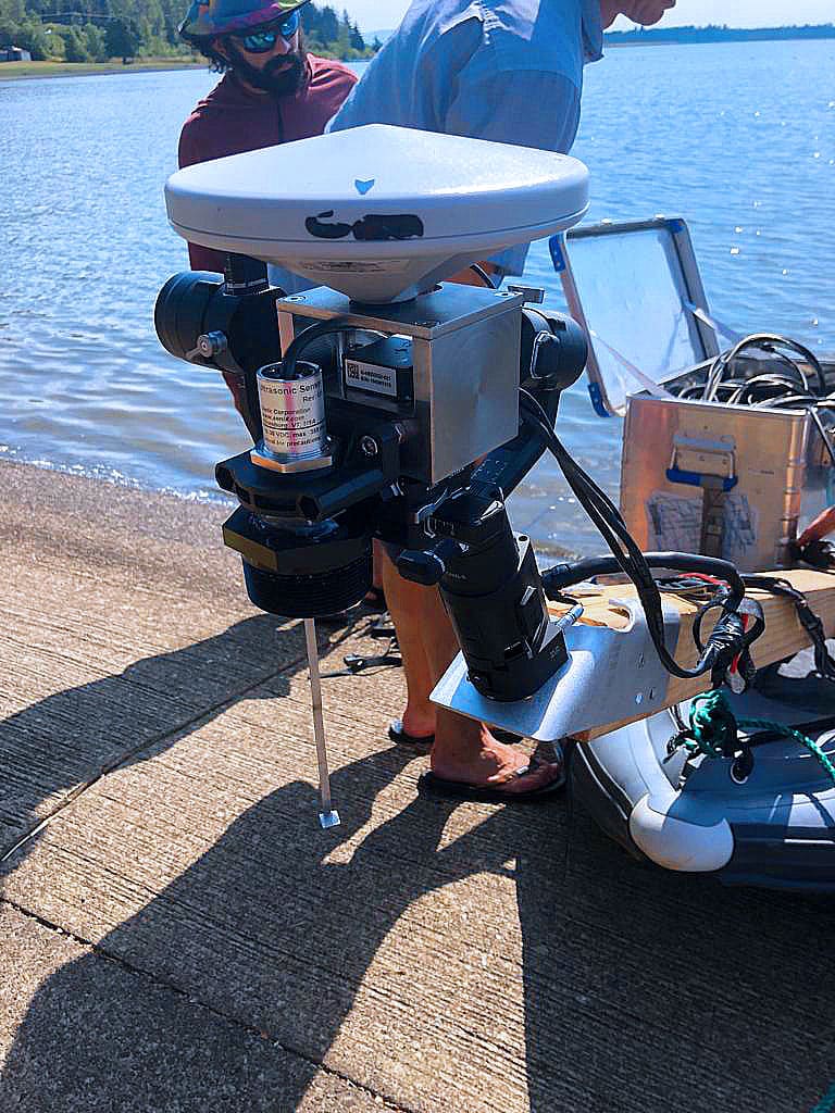
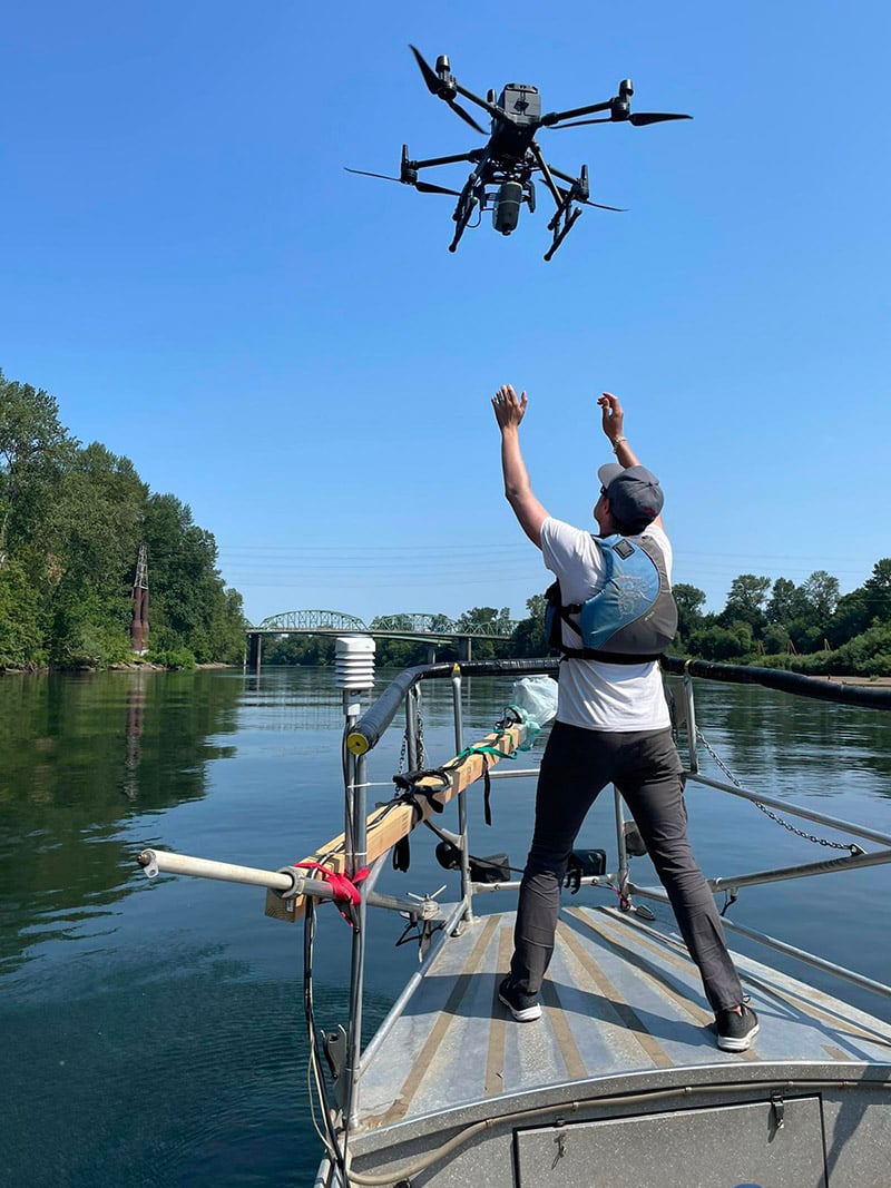
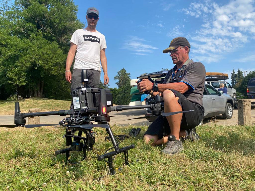
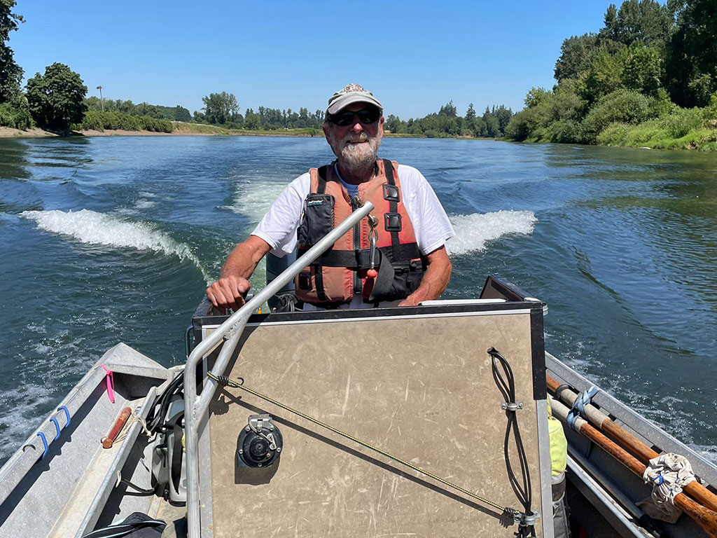
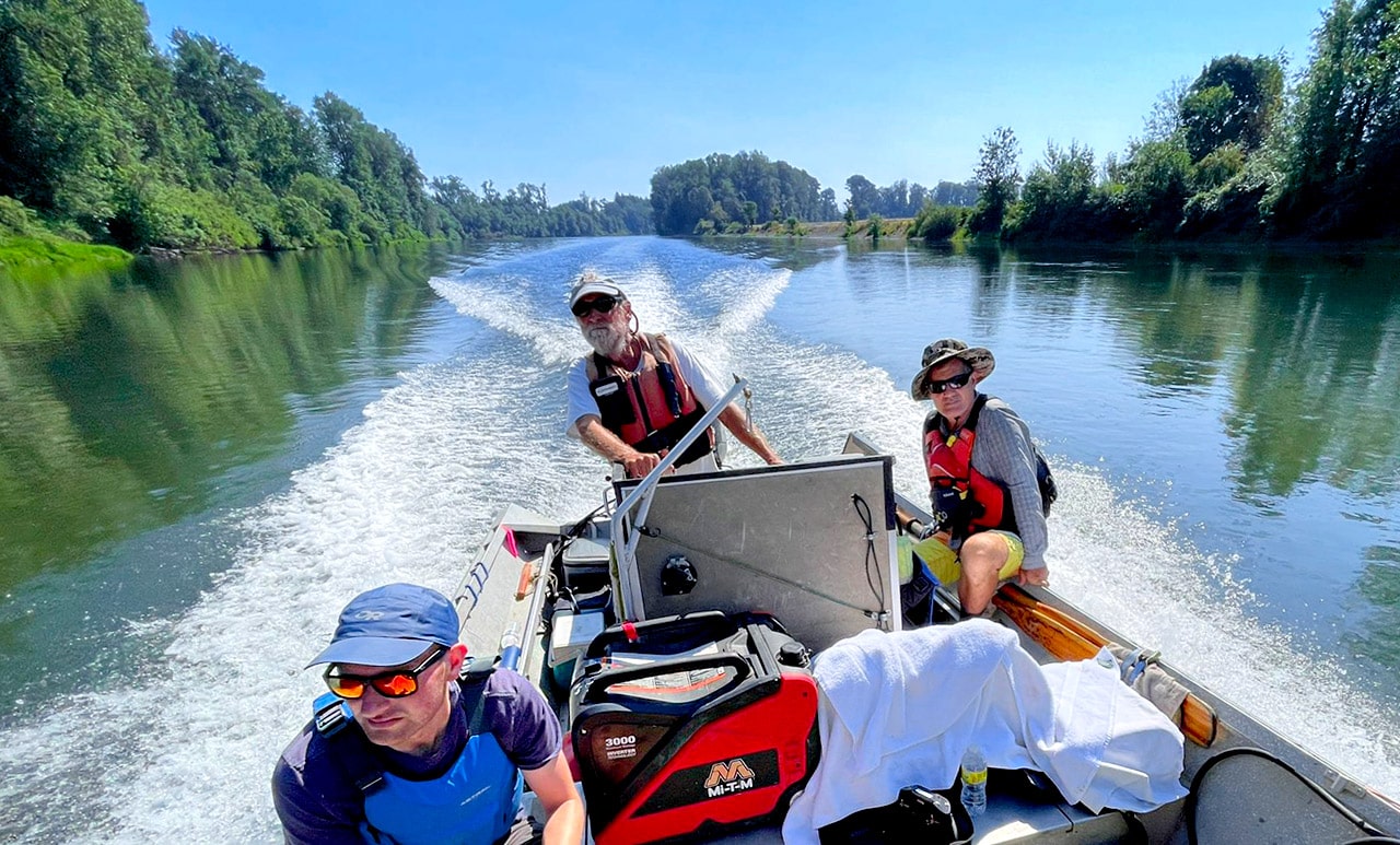
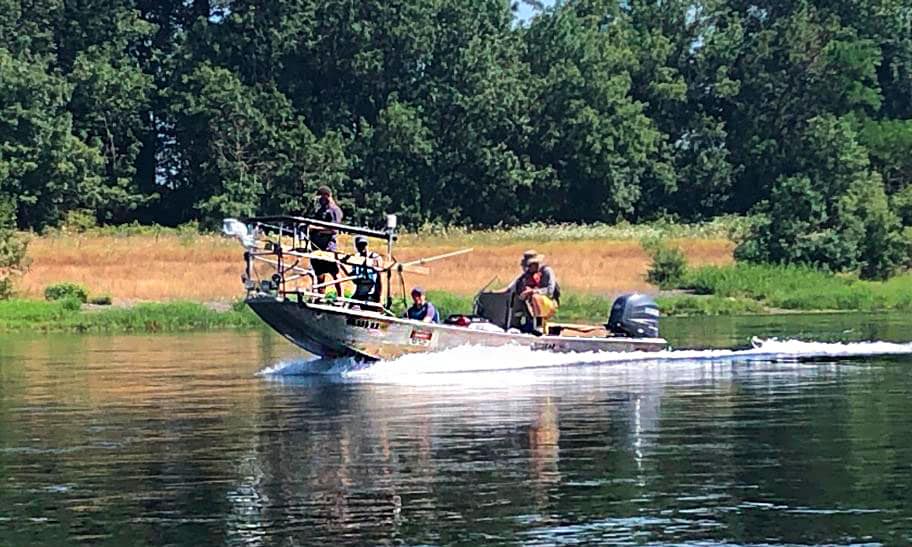
Calibration-Validation of satellite data: Willamette River mission

As we can imagine, an international mission of the magnitude of SWOT necessarily implies a particularly thorough preparation. And in the field of space altimetry, calibration and validation of satellite data (known as CalVal in the industry jargon) are a significant part of a successful project. This Calibration/Validation allows you to verify and guarantee the accuracy of the measurements made from space, nothing less!

willamette-river-project-swot-calval-satellite
The route of the measurement campaign on the Willamette River

It is thus as part of this SWOT pre-launch preparation, jointly orchestrated by NASA and CNES,that a five-day measurement campaign took place on the Willamette River, south of Portand, Oregon.This project was completed from July 25 to 29, 2022, in the northern part of the American West Coast.

France + USA, two complementary approaches

The Franco-American mission team consisted of two sub-teams, an American and a French one.
On the American side, the team was composed of three researchers in hydrology appointed by NASA as P.I.s (Principal Investigator) in charge of the US scientific part (relevance and validation of the collected data):

  • J. Toby Minear
  • Dr. Colin J. Gleason
  • Tamlin M. Pavelsky

The American measurement protocol was based on the deployment along the studied river section of about fifteen Pressure Transducers, georeferenced submerged sensors with high accuracy using GNSS sensors. These sensors will be used to gauge the river by measuring its speed, depth and flow via acoustic profilers (ADCP).

The French team included five specialists:

  • Michel Calzas (DT-INSU)
  • Fabrice Papa (IRD)
  • Muriel Bergé-Nguyen (CNES / LEGOS)
  • Daniel Moreira (CPRM, Brazil)
  • Jean-Christophe Poisson (vorteX-io)
  • Hugues Racamier (I-TechDrone)

As for the protocol used, the French team, appointed by the CNES, used two other types of sensors: the Cyclopée system designed by CNRS on the one hand and the lightweight altimeter developed by vorteX-io, embedded under a drone, on the other.

Click on the images to enlarge them, then use the arrows on your screen or on your keyboard to scroll them

For almost two years now, the sensors developed by vorteX-io have been used by CNES to calibrate and validate satellite data for various projects. The lightweight airborne altimeter and the in-situ micro-station designed by vorteX-io thus form an integral part of the data calibration-validation system of the SWOT mission , just like the Cyclopée device designed by CNRS.

The first three days of this “Willamette mission” were dedicated to sailing on the Willamette River aboarda light craft carrying the INSU-CNRS Cyclopée device while the vorteX-io light altimeter flew over the river, controlled from the boat.The measurements were made during three round trips between the cities of Albany and Corvalis, at a rate of about 30 miles per day, for a total of 90 miles. (see on Google Earth)
The fourth day was entirely devoted to Fern Ridge Reservoir Lake with the same type of measurement protocol. The fifth and final day of the mission was devoted to debriefing and discussions about processing the data.

Assessment

This preparatory mission of the SWOT project has been very successful in terms of binational cooperation and has resulted in a technical, operational, scientific, and human success story. Even if the data from this mission is still being processed by each of the mission stakeholders, the quality of the results achieved in-situ already allows us to say that they are of high quality, fully meeting the expectations of CNES and NASA.
In a few weeks, this data will be shared during a meeting of the mission teams to compare results and improve future CalVal campaigns of the SWOT satellite.

SWOT-satellite-calibration-validation-mission-willamette-river-team
The team of the SWOT calval measurement campaign
Also read

Première visite ?

Il existe plusieurs types de plans d’abonnement pour accéder à la plateforme MAELSTROM®

Accédez à MAELSTROM®

vortex-io-solution-monitoring-course-of-water

Vous avez déjà un compte sur MAELSTROM® ou vous souhaitez en créer un

First visit?

There are several types of subscription plans to access the MAELSTROM® platform

Access MAELSTROM®.

vortex-io-solution-monitoring-course-of-water

You already have an account on MAELSTROM® or you want to create one