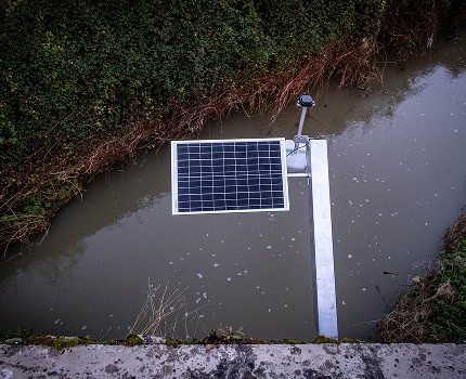
Monitor waterways with precision and peace of mind
Reliable, real-time hydrological measurements to anticipate, protect and optimize water resource management. Benefit from innovative, simple and accessible hydrological services.
The uses
Observe, manage, anticipate
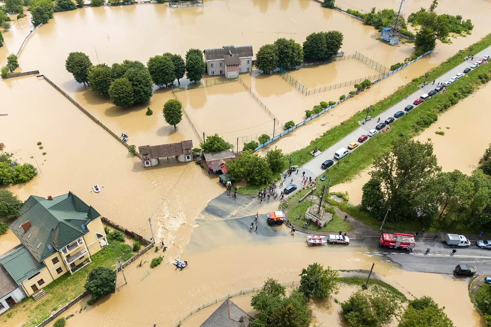
Protecting people and activities
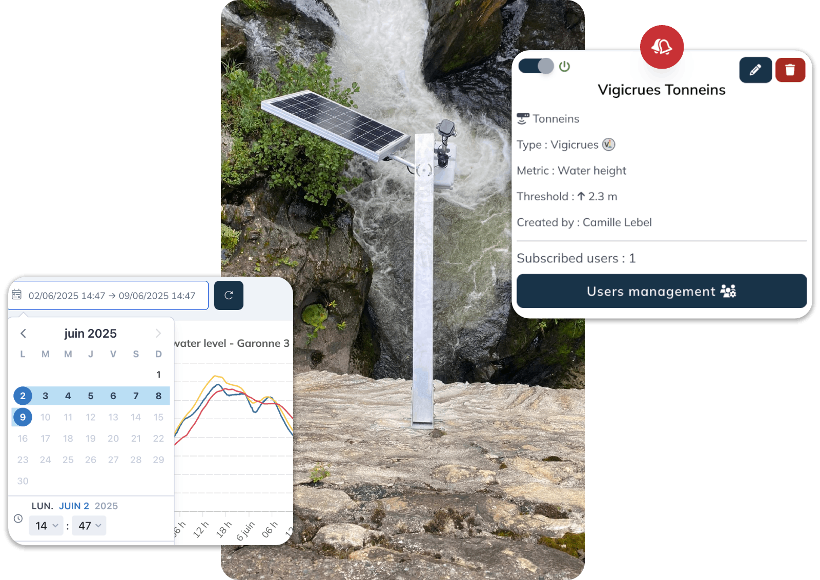
vorteX-io aids in anticipating flood risks by continuously measuring watercourse height and surface velocity.
Notifications are triggered when thresholds are exceeded.
Get ahead of the curve to reduce the human and material impact of floods.

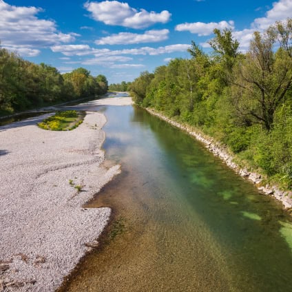
Managing resources in times of drought
Our service measures the height, surface velocity and flow of watercourses, even in periods of low water.
The vorteX-io platform provides you with the information you need to better manage water resources during low-water periods.
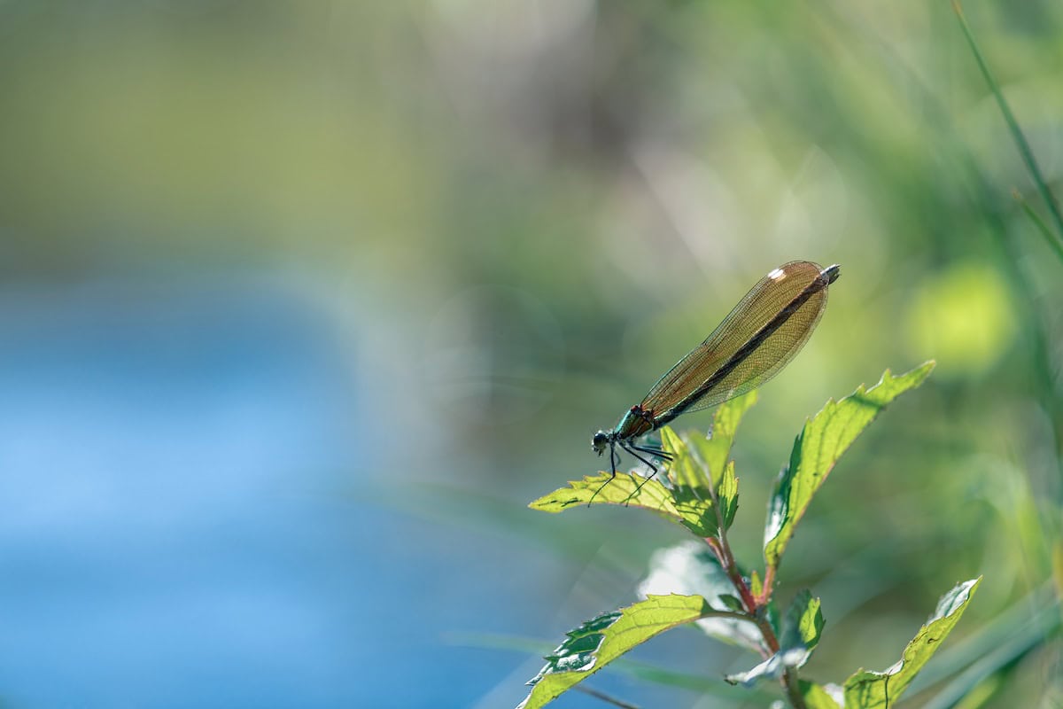
Monitoring the state of aquatic ecosystems
Our network of stations provides real-time measurement of quantitative parameters (water level, velocity, flow) and surface temperature.
Thanks to its extensive database and time comparison functions, vorteX-io facilitates the monitoring and sustainable management of wetlands.

Guaranteeing the reliability of altimetry measurements
The in situ measurements made by our network of stations guarantee the reliability of our spatial altimetry measurements.
VorteX-io supports space agencies and satellite operators in their cal/val missions.
Act now
The strength of our service lies in real-time data transmission. Thanks to this instantaneous information, you can analyze the situation and take effective action.
99,9%
data
accessible in less than 1 hour
95,1%
data
accessible in less than 15 minutes
OFFER
Try vorteX-io now
Create your free, no-obligation account and test our hydrological services.
Our promise to you
Your decision-making tool
Take advantage of the many benefits included in our river monitoring services.
Continuous supervision
Keep an eye on the evolution of your watercourses for constant monitoring
In-depth studies
Combine real-time and historical data to refine your analyses
Installation and maintenance included
Installation, maintenance and upgrades included for micro-stations
Anticipation made easy
Use reliable data to better prevent risks and manage water resources
Attractive price
Discover our flexible, cost-effective monthly subscription solution
Teamwork
Collaborate more easily with shared space and services
Our customers
They trust us
“The vorteX-io service enables us to monitor flood risk accurately and in real time, directly at our customers’ sites. Their unique level of service […] helps us and our customers stay informed and protected.”

Kevin Dedieu
Scientific Director and co-founder, Descartes Underwriting
“The flexibility of the vorteX-io platform, and the technical team capable of making it evolve, are a major asset. It’s reassuring to know that the service we offer is not a solution frozen in time, and that it will adapt to our future needs and those of our customers.”

Antoine Colmet-Daage
Engineer and Doctor in Water Sciences, Philia Ingénierie
Demonstration
Get started for free with vorteX-io
Create your free account and access our hydrological services without obligation.
Investors
They support us