Quantitative monitoring of watercourses
Get an accurate, real-time view of your waterways. With vorteX-io, measure height, velocity and flow with cutting-edge technology designed to inform your decisions and protect your resources.

Our customers
Take the lead
Monitor your water resources and anticipate risks.
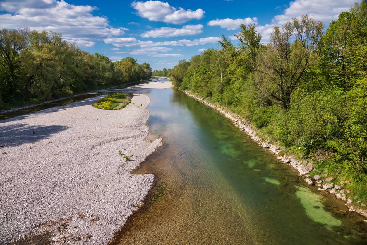
Measure, analyze, control
Each of our stations incorporates several sensors, including a laser rangefinder (LiDAR) to measure water level. These data, transmitted in real time, give you a clear, reliable picture of water level and velocity variations, 24/7.
Measuring water level
- Centimeter accuracy of water level measurement
- Chronicles and historical data to identify trends
- Continuous measurement 24/7
Surface speed analysis
- Automated analysis of river images
- Precise calculation of surfacespeed
- Results transmitted to the platform in real time
Flow estimation
- Monitoring seasonal and event-related variations
- Automated combination of measurements from the supplied calibration curve
- Real-time estimation
trust at the heart of service
Precision and reliability
The reliability of vorteX-io’s measurements and data access means you can analyze the situation and take action as quickly as possible.
±1 cm
precision in water level measurement
97,5%
data accessible in 15 minutes
Discover vorteX-io free of charge
Register without obligation and test our hydrological services on our demo micro-stations (no credit card required).

Anticipate hazards to prevent them
How does it work?
Our 4-step offer
To manage, you need to know.
To know, you have to measure.
In-depth knowledge of your watercourses relies on precise, continuous monitoring.
1. Collecting measurements
Our stations incorporate several sensors: LiDAR, camera, thermal sensor, GNSS system and accelerometer, for continuous multi-parameter measurement powered by solar panels.
2. Transmission and processing
Measurements are transmitted by 3G/4G to our secure servers, and are available on vorteX-io in just a few minutes.
3. Data visualization
Centralized, processed and standardized, this data feeds a constant flow into our platform. range of innovative hydrological services.
4. Decision support services
You can consult, compare, analyze and even receive notifications to help you decide what action to take.
Refine your analysis
Comparison between stations
Display multiple measurement sources simultaneously
Setting altimeter references
Easily compare levelled water heights in absolute or relative values
Customizable water level reference system
Choose your own reference value for displaying measured water levels
FAQs
Find out the answers to the most frequently asked questions about our hydrometry services.
Contact usNo, the stations are not submerged, which increases their durability and measurement stability compared with submerged sensors.
Our stations use the GSM network to automatically transmit measurements taken in the field. In the event of a network failure, data is stored onboard and sent once the connection is re-established.
They are totally self-sufficient in energy thanks to their solar panel and on-board battery, enabling them to be installed in areas with no electrical grid. On the other hand, 3G/4G coverage is required to ensure proper transmission of measurements/data.
No, the stations in the vorteX-io network are designed to monitor surface waters (rivers, lakes and reservoirs) and coastal zones.
Anticipate hydrological hazards
Whether you’re a local authority, a company, a transport network or an insurance organization, find out how vorteX-io helps you monitor, anticipate and act.