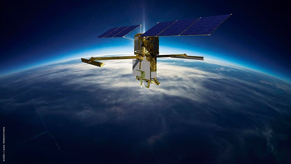
The combined integration of satellite and in-situ data provides a comprehensive and accurate view of hydrological systems and processes. This integrated approach is essential for sustainably managing the resource.
The combined integration of satellite and in-situ data provides a comprehensive and accurate view of hydrological systems and processes. This integrated approach is essential for sustainably managing the resource.
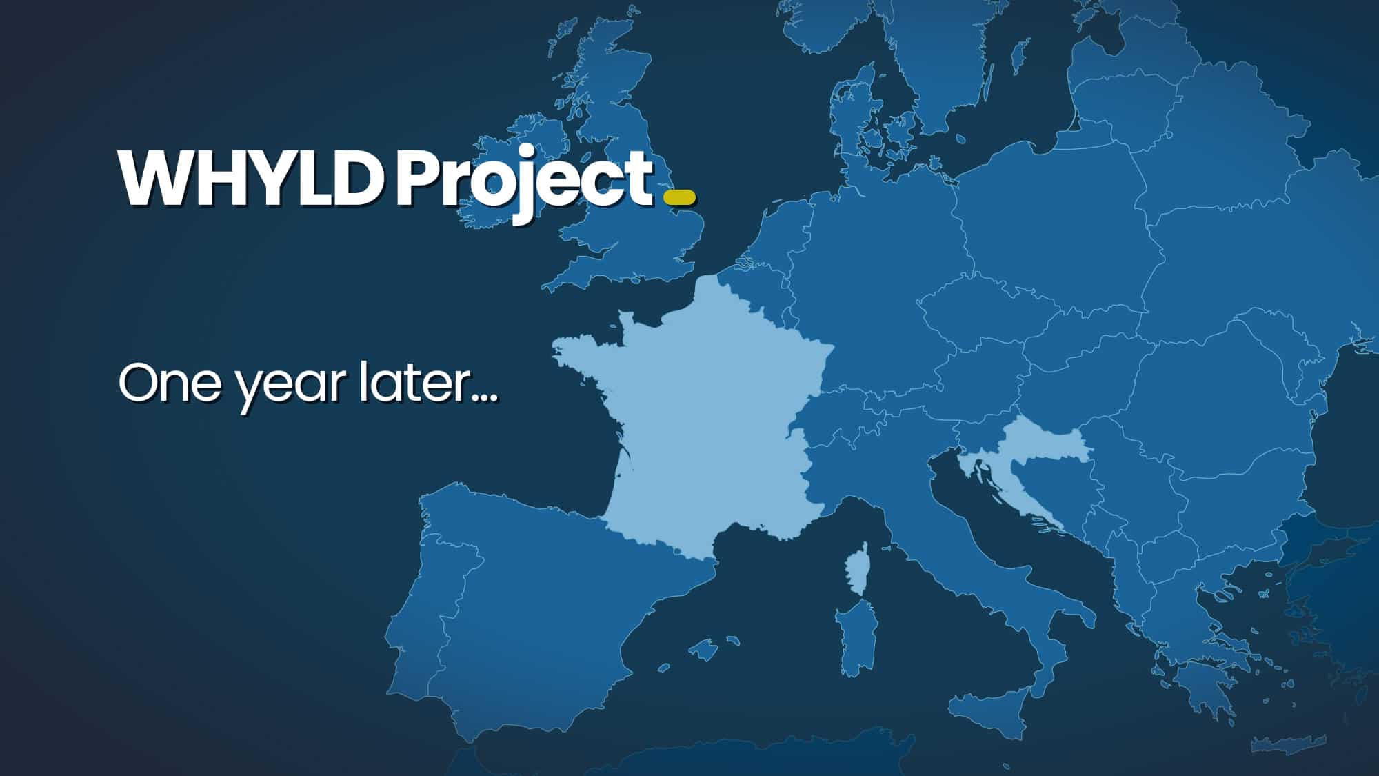
More than a year after winning the EIC Accelerator, vorteX-io gets its WHYLD project off the ground with a massive deployment of micro-stations, the closing of a fundraising round and the strengthening of its teams.
The “Space hydrology: qualitative and quantitative management of surface water” project, supported by the France 2030 investment plan, was officially launched a few weeks ago on the initiative of the French Ministry of Ecological Transition and Territorial Cohesion and CNES. VorteX-io is one of the winners of a call for tenders concerning the use of spatial data for water monitoring and management.