USE CASE
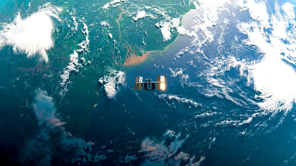
Calibration / validation of satellite data
vorteX-io provides the in situ measurement references essential for detecting and correcting discrepancies between satellite data and reality.

Key features
3 reasons to choose vorteX-io
Altimetry satellites are revolutionizing Earth observation, but their accuracy depends in part on reliable ground-based measurements. vorteX-io provides space industry players with the in situ data they need to verify their measurements.
Rigorous validation of altimetry data
VorteX-io has an extensive network of measurement stations. Our data processing platform guarantees the acquisition of reliable, usable references.


Innovative instruments for complex missions
The combined data from our stations and our drone-mounted light altimeters enable us to measure water levels with centimetric precision.
A turnkey service for satellite operators
We deliver in situ measurements that can be perfectly integrated into existing calibration protocols.

Our customers
They trust us
Space agencies, research institutes and specialized companies call on vorteX-io’s expertise to ensure the reliability of their CalVal missions.
Station + altimeter = complementary services for CalVal
The combination of our measuring stations and our altimeter enables us to provide highly qualitative data over time and over river sections of several tens of kilometers.
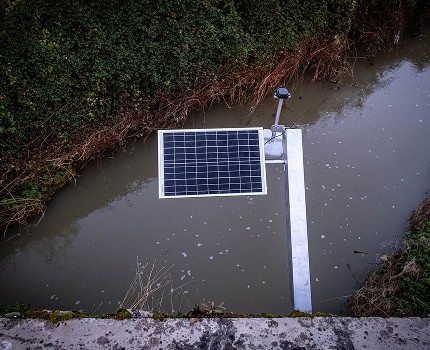
vorteX-io station: the constellation in situ
The vorteX-io station is the perfect instrument for your missions, offering perfect parameterization possibilities for the provision of ground reference data over time.

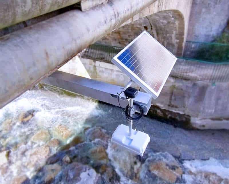
VTX-1 lightweight laser altimeter: mobility and ultra-precision
Complementing the micro-station, the VTX-1 rangefinder is an airborne, drone-mounted instrument. It is dedicated to measuring continental hydrological surfaces and coastal zones.
A proven service
+40
stations dedicated to satellite calval in 9 countries
+1 000
kilometers of river length measured
300 000
reference measurements for SWOT
x10
measurements compared to regular in situ campaigns
Hydrological data that make all the difference
Reliable measurements in large quantities
Our unique methodology ensures non-stop, accurate data collection.
100% automated production
Water levels are measured remotely and hourly with centimetric precision.
Flexibility and lower costs
Automated measurement enables unprecedented economies of scale.
Need accurate in-situ data?
VorteX-io supports your Earth observation missions with reliable field measurements tailored to your requirements